DreiSeen-Round
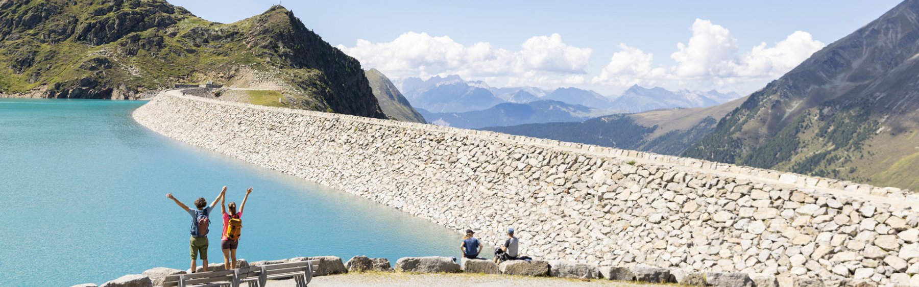
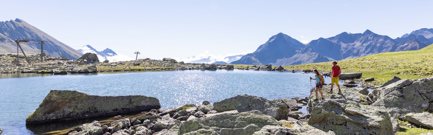
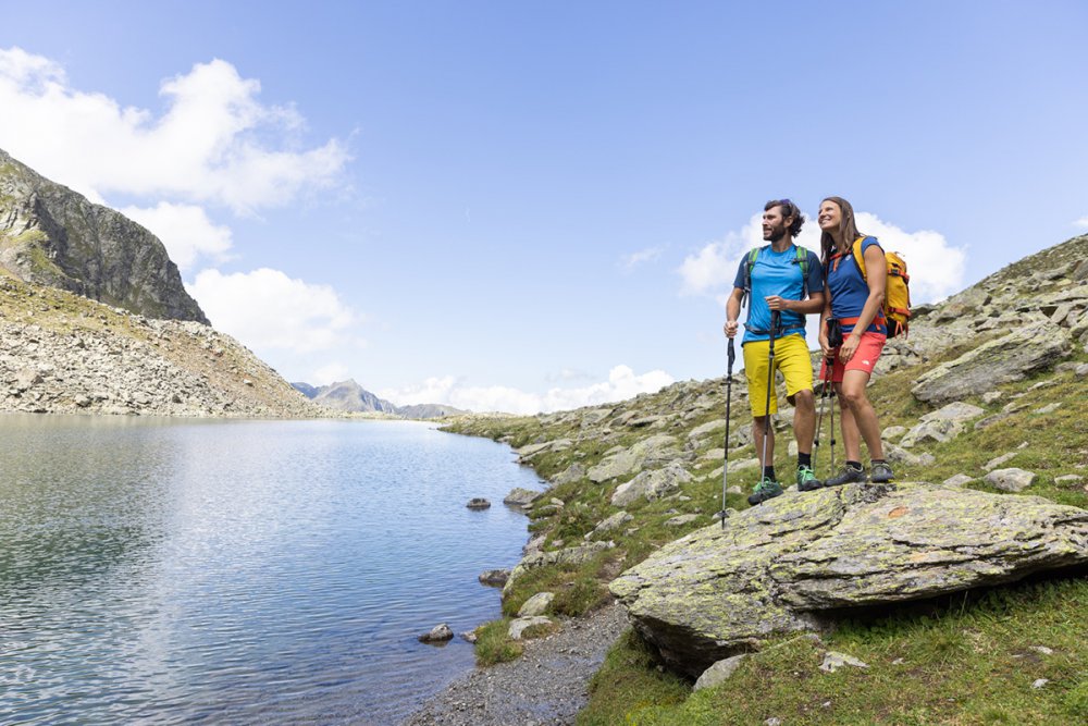
The DreiSeenBahn takes you up to 2,410 metres. From the mountain station you walk past the Oberer Plenderlessee and reach the DreiSeen-Hütte, which is located directly on the Unterer Plenderlessee, within 8 minutes walking distance. Within further 20 minutes walking distance you can hike over the Höhen-Panorama trail and reach the Finstertaler reservoir or even try a climbing tour over the Pockkogel on the via ferrata. The descent takes 90 minutes via the Mittlerer Plenderlessee and on to the Hirschebensee to Kühtai. Alternatively, you can also hike from the DreiSeen-Hütte to Kühtai via the toboggan run, a path suitable for prams.