Hours of Operation
 Ski Trail Map
 Ski Pass & Prices
 Valid Cards & Passes
 Ski resort
 Off the slopes
 Webcams & Weather
 Hiking Tips
High Alpine Road
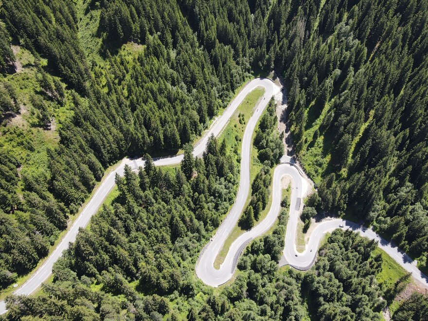
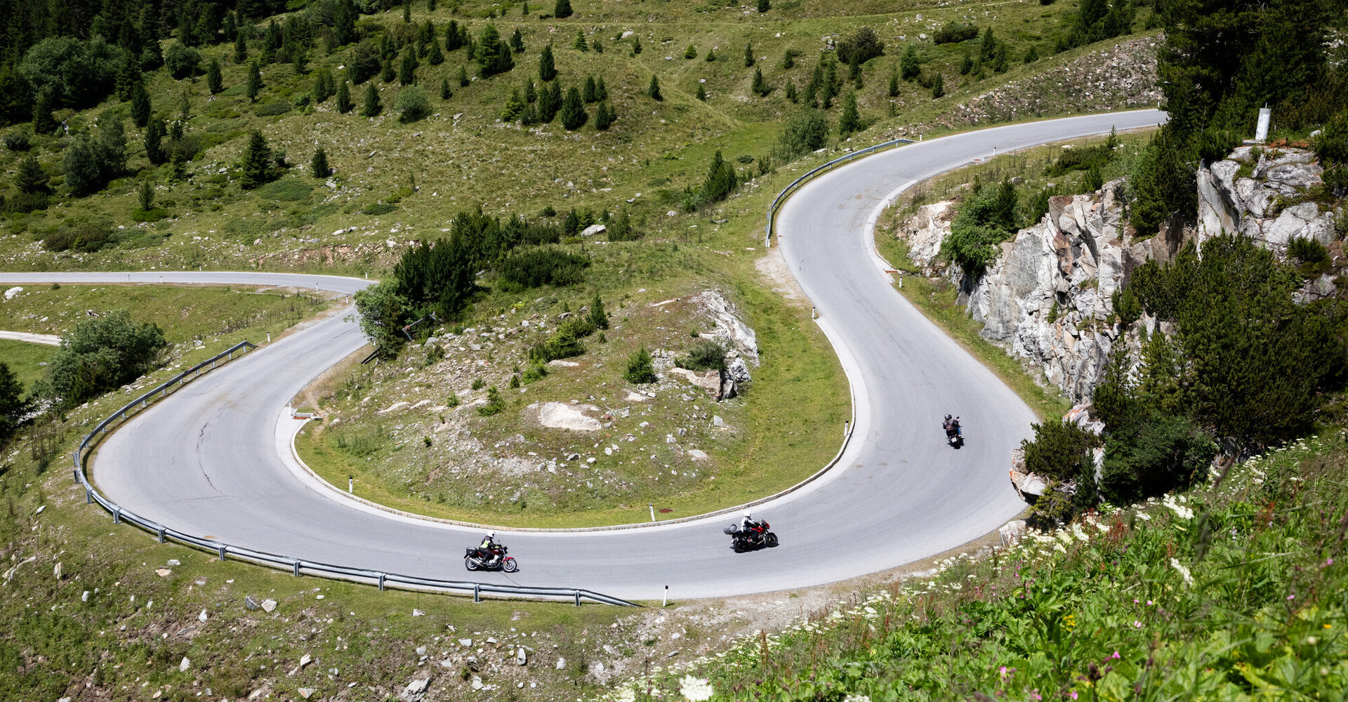
Winding roads, mountain panoramas, and nature experiences: The Kühtai High Alpine Road winds through diverse landscapes up to 2,020 meters. And best of all: The route is toll- and vignette-free.
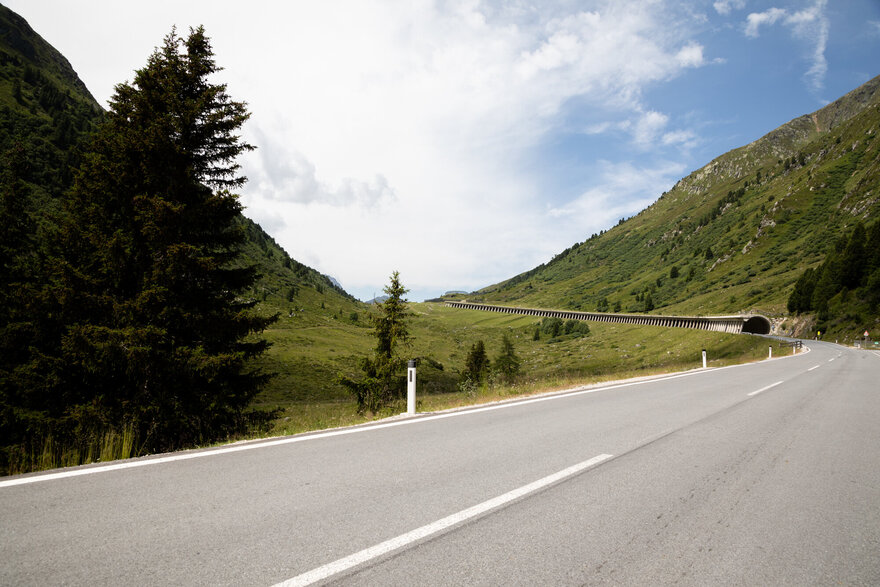
Along the route, you’ll find green alpine meadows, imposing mountain ranges, and plenty of great photo opportunities. Numerous places to stop for a bite to eat, walking and hiking trails, and playgrounds invite you to take a break.
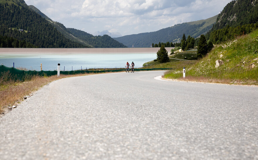
A detour to the Längental Reservoir is well worth it, as is a ride on the DreiSeenBahn up to 2,410 meters, followed by a hike to the Finstertal Reservoir.
You can reach Kühtai from Innsbruck in about 30 minutes through the Sellraintal valley. Alternatively, scenic routes lead from Oetz through the Nedertal valley or from Haiming via Ochsengarten up to Kühtai.
Length: 25 km (from Kematen), 18 km (from Oetz)
Travel time: 25 min
Highest point: Kühtai 2,020 m
Starting point in Kematen: 610 m
Starting point in Oetz: 812 m
Maximum gradient: 16%
Hours: The Kühtai High Alpine Road is open year-round. Please be aware of possible avalanche closures in winter.
Places along the Kühtai High Alpine Road
Kematen, 610 m
From Kematen, the Kühtai High Alpine Road leads from the Inn Valley into the Sellrain Valley.
Sellrain, 909 m
The “mountaineering village” delights visitors with its unspoiled nature and a wide variety of opportunities for hiking, mountaineering, and ski touring.
Gries, 1,187 m
Idyllically situated amid imposing mountains, the “mountaineering village” combines relaxation with alpine charm.
St. Sigmund, 1,513 m
The third “mountaineering village” in the Sellrain Valley delights visitors with its unspoiled beauty and authentic mountain atmosphere.
Kühtai, 2,020 m
At 2,020 meters, Kühtai is a high-alpine skiing paradise in winter and a starting point for hikes to crystal-clear mountain lakes and reservoirs in summer.