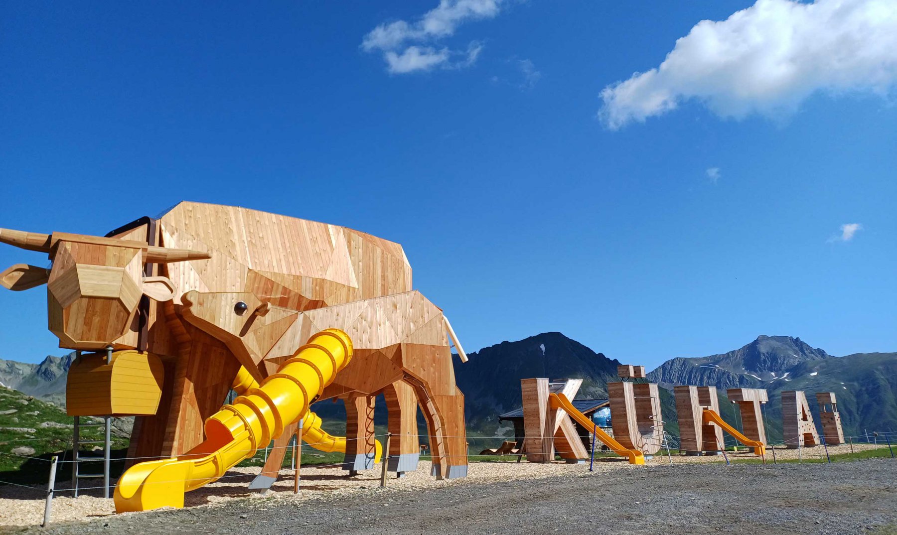
- DreiSeenBahn
- StartBahn
- WiesBergBahn
- KühTeppich
- KaiserBahn
- Alpenrosenlift
- Schwarzmooslift
- HochAlterBahn
- HoheMutBahn
- WunderTeppich
- GaisKogelBahn
- Sonnenlift
- Nachtskilauf
- KPark Kühtai
- Rodelbahn
= open
|
Altitude meters uphill |
447 Meter |
|
Route length |
8.8 KM |
|
Starting point |
Tourismus Information Kühtai |
|
End point |
Tourismus Information Kühtai |
|
Nature of the trail |
Mountain path, forest path, asphalt |
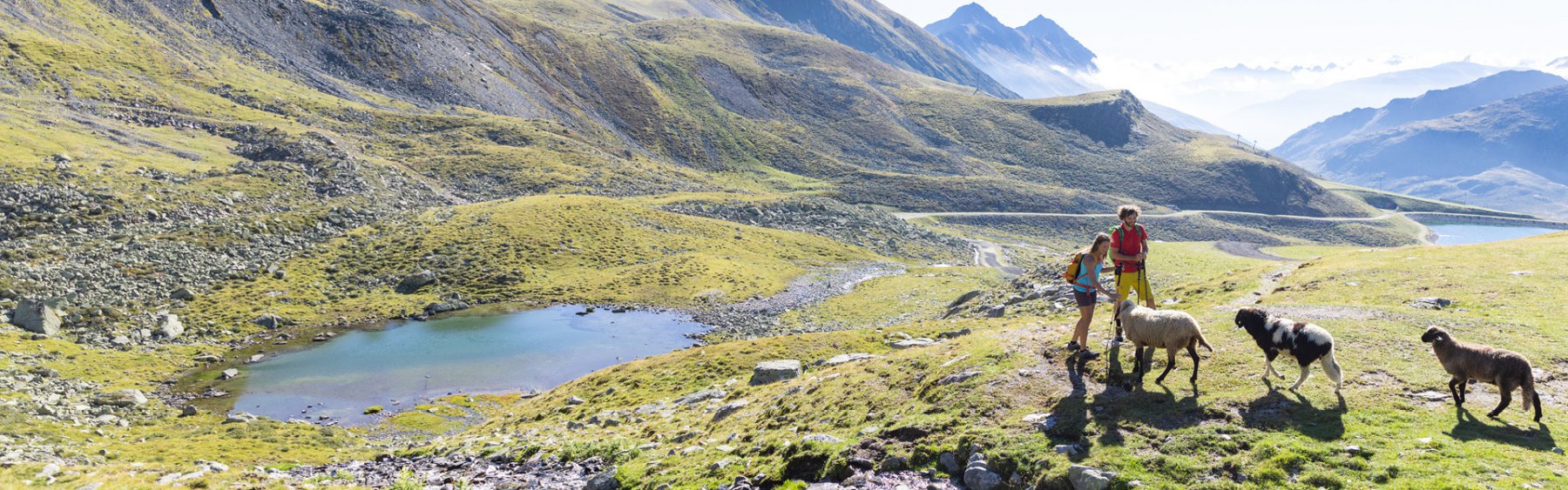
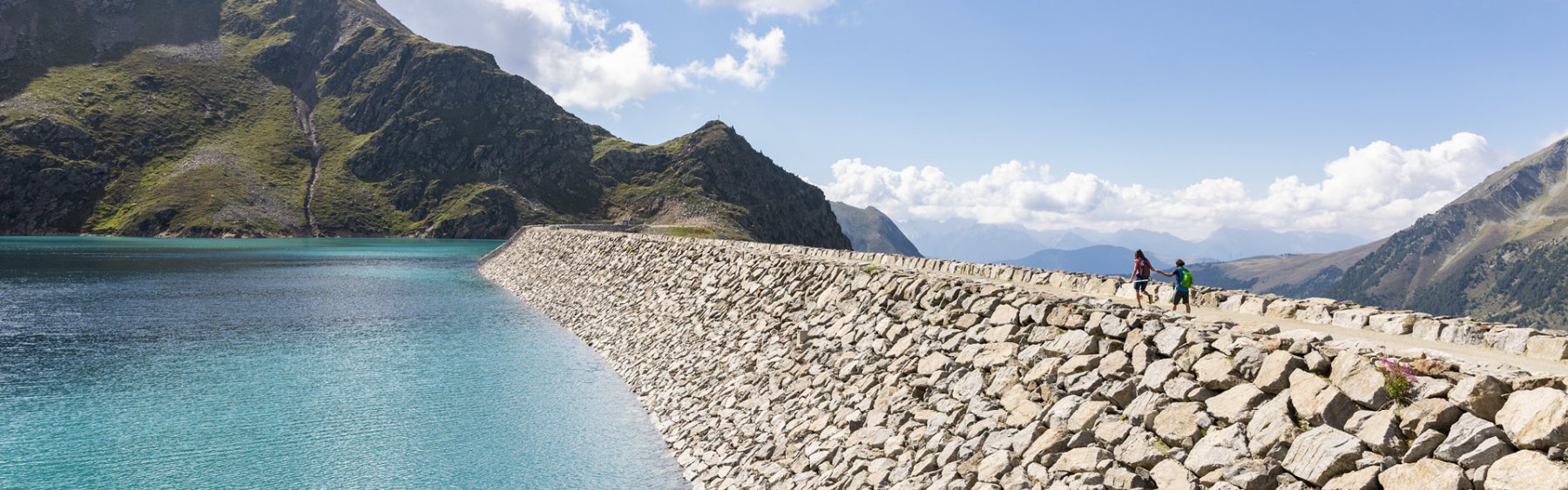
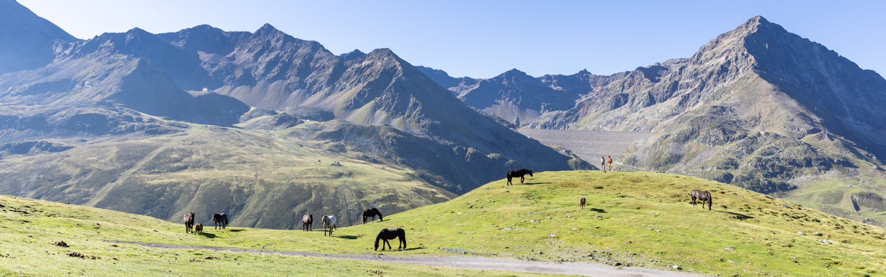
From the starting point at the tourist information office, cross the road and follow the path uphill behind the church. Heading east, the trail leads steadily uphill until you reach the Hirschebensee lake. From there, head towards the Finstertal reservoir, past the middle Plenderlessee lake, the DreiSeen hut and finally the lower Plenderlessee lake. At the highest point of the tour, right next to the impressive dam, you change to the asphalt road and follow it downhill. Passing the Graf-Ferdinand-Haus, you reach the main road of Kühtai shortly after the Höhenleistungszentrum. Follow the road a little further uphill and you will return to the starting point.