X

Starting now! 5% discount on all online ticket prices up to 30 days before the start of your vacation

Book your ski pass for the entire Kühtai-Hochoetz ski region from the comfort of your own home. Simple and flexible, with no waiting time on the slopes.

Search

Panoramic Map

Mountain Trails

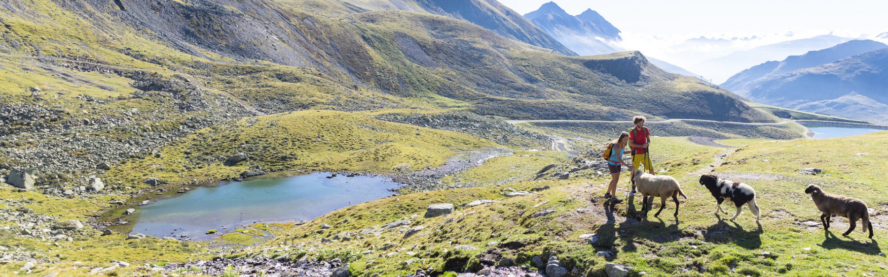
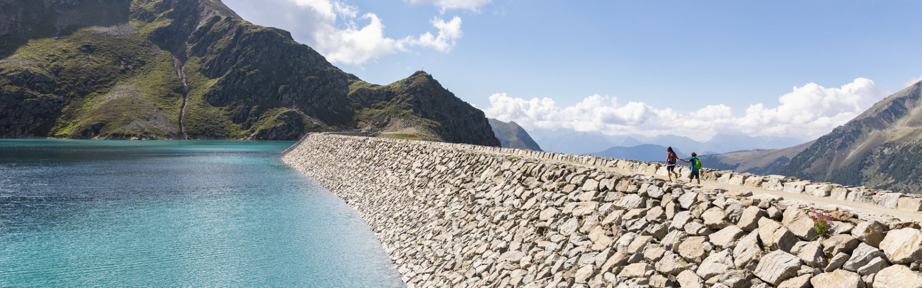
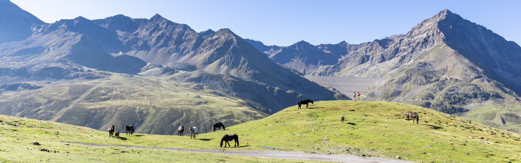
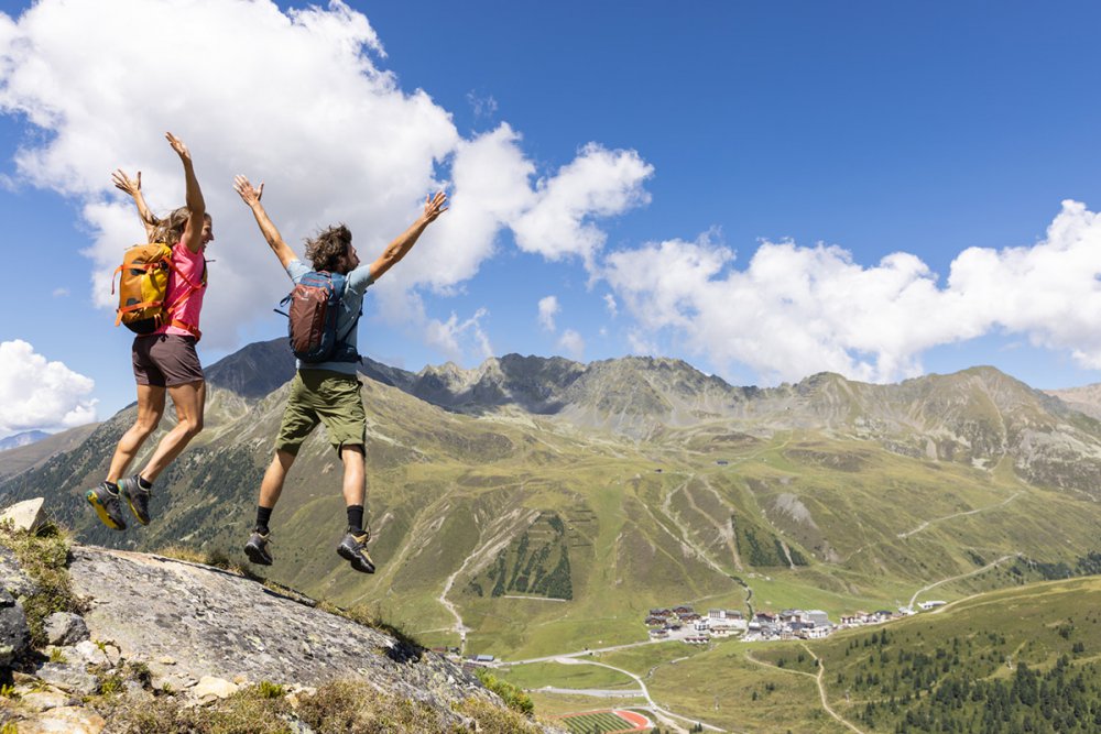
Kühtai-Sellraintal in summer

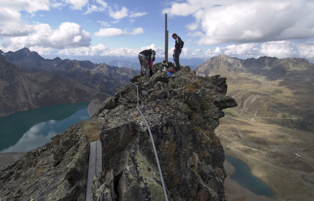
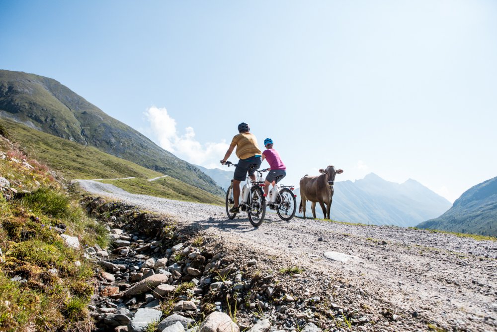
The Kühtai-Sellraintal region is the perfect place for hiking, alpine activiies and relaxation. Alpine meadows, steep slopes, dense forests and craggy cliffs create an incomparable mountain backdrop. On the way, nature highlights provide unforgettable impressions.


Panoramakarte


Hiking suggestions from DreiSeenBahn
mountain station (2,410 m)
Walking times are only estimated for one way

  • 1 Plenderlessee (2,350 m / 5 min)
  • 2 DreiSeen-Hütte (2,310 m / 8 min, via Seensteig 15 min)
    NEW: with KühPlayground
  • 3 Start Via Ferrata (2,590 m / 20 min)
  • 4 Finstertaler reservoir – Höhen-Panorama trail (2,340 m / 20 min)
  • 5 Finstertaler reservoir – DreiSeenBahn-station (1,960 m / 1 ½ h)
  • 6 Hirschebensee – Kühtai (2,160 m – 2,020 m / 1 h)
  • 7 Gaiskogel (2,820 m / 1 ½ h)
  • 8 Neunerkogel (2,642 m / 1 ½ h)
  • 9 Pockkogel (2,807 m / 2 h)
  • 10 Finstertaler Scharte – Schartenkopf (2,855 m / 2 h)
  • 11 Sulzkogel (3,016 m / 3 ½ h)
  • 12 Silzer Energy Trail (1 ½ h)
  • 13 Kühtaier Village Walk (1 ½ h)

Activities in Kühtai