- DreiSeenBahn
- StartBahn
- WiesBergBahn
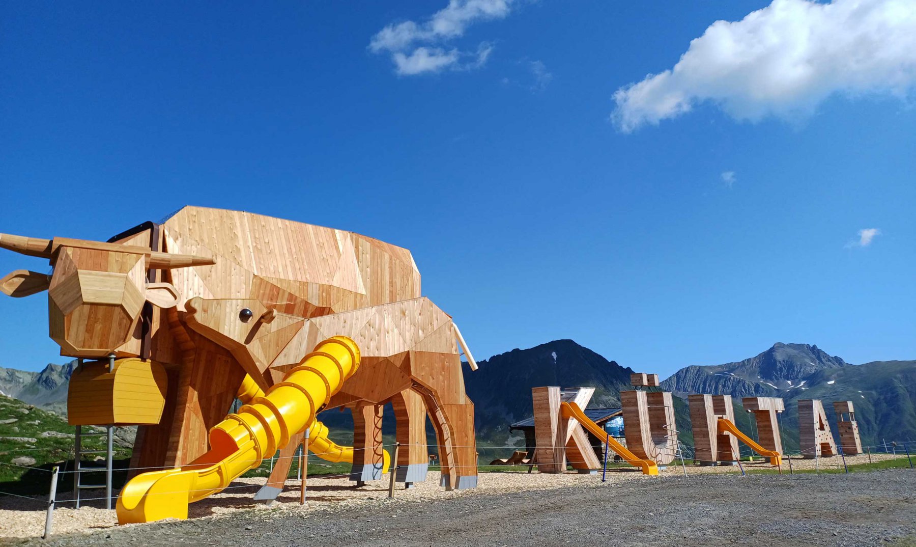
- KühTeppich
- KaiserBahn
- Alpenrosenlift
- Schwarzmooslift
- HochAlterBahn
- HoheMutBahn
- WunderTeppich
- GaisKogelBahn
- Sonnenlift
- Nachtskilauf
- KPark Kühtai
- Rodelbahn
= open
|
Altitude meters uphill |
459Meter |
|
Route length |
9.5 KM |
|
Starting point |
Tourismus Information Kühtai |
|
End point |
Tourismus Information Kühtai |
|
Nature of the trail |
Mountain path, forest path |
For the Schwarzmoos circuit, first cross the Hochalterbahn parking lot in an easterly direction and then follow the forest path up the serpentine path. Once you have left the Nederbach and the Kaiser-Max-Hütte behind you, turn right and follow a path under the Schwarzmoos lift. It is only a few meters up to the highest point and the turnaround point of the route, the Kaiserbahn mountain station at 2,443m. With a wonderful view over the Schwarzmoos lakes and the Sellraintal valley, the trail leads back down to the tourist information office.