 Hours of Operation
 Ski Trail Map
 Ski Pass & Prices
 Valid Cards & Passes
 Ski resort
 Off the slopes
 Webcams & Weather
 Hiking Tips
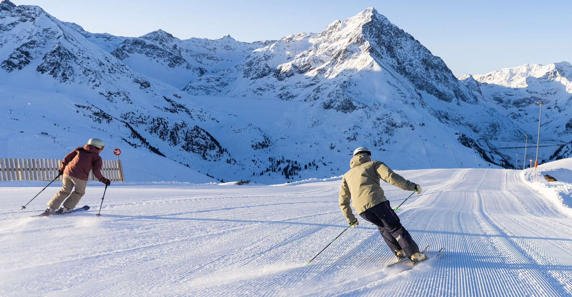
Kühtai-Hochoetz Trail Map
Two ski areas, one ski pass, and plenty of options: The interactive trail map shows all runs, trails, lifts, and key landmarks in the Kühtai-Hochoetz ski region.
Plan your day on the slopes at a glance
Whether it’s a relaxed family run, a challenging descent, or a direct route to the nearest lodge: the interactive trail map lets you quickly see which lifts are open, the difficulty levels, and the connections between runs. That way, the excitement begins even before you take your first turn.
Kühtai-Hochoetz
With the joint ski pass (available for 2-day passes and longer), you have access to over 90 kilometers of slopes in the ski region. The free express ski bus, running every 15 minutes, conveniently connects Kühtai and Hochoetz.
Find it on the trail map
- All Slopes and Ski Trails by Difficulty Level
- Mountain railways, lifts, and connecting trails
- Snow park, night skiing, and other adventure areas
- Mountain huts, restaurants, parking lots, and key service points
- Current operating status of the lifts and runs
Kühtai-Hochoetz Trail Map
| Piste | Nr. | Schwierigkeit | Länge | Schneezustand | Status | |
|---|---|---|---|---|---|---|
| Gaiskogel | 9b | Easy | no notification | closed | ||
| Schwarzmoos | 18 | Easy | 1,2 km | no notification | closed | |
| Schwarzmoos | 18 | Easy | no notification | closed | ||
| KühTeppich-Skiweg | Easy | 0,6 km | no notification | closed | ||
| KühTeppich-Übungshang | Easy | 0,5 km | no notification | closed | ||
| Skiweg Kaiser-Max-Hütte | Easy | 0,3 km | no notification | closed | ||
| Skiweg Loisl´s Schirm | Easy | no notification | closed | |||
| Sonnenlift-Skiweg | Easy | 3,2 km | no notification | closed | ||
| Sonnenlift-Übungshang | Easy | 0,6 km | no notification | closed | ||
| StartBahn-Skiweg | Easy | 0,3 km | no notification | closed | ||
| StartBahn-Übungshang Ost | Easy | 0,4 km | no notification | closed | ||
| StartBahn-Übungshang West | Easy | 0,4 km | no notification | closed | ||
| Verbindung | Easy | no notification | closed | |||
| Wiesberg-Skiweg | Easy | 0,2 km | no notification | closed | ||
| Wunderteppich-Übungshang | Easy | 0,2 km | no notification | closed | ||
| HochAlter | 1 | Intermediate | 3,2 km | no notification | closed | |
| HochAlter | 2 | Intermediate | 1,1 km | no notification | closed | |
| HochAlter | 3 | Intermediate | 3,1 km | no notification | closed | |
| Gaiskogel | 4 | Intermediate | 1,2 km | no notification | closed | |
| Wiesberg | 8 | Intermediate | 0,7 km | no notification | closed | |
| Gaiskogel | 9 | Intermediate | 2,1 km | no notification | closed | |
| DreiSeen | 10 | Intermediate | 1,3 km | no notification | closed | |
| Wiesberg | 10 | Intermediate | 0,8 km | no notification | closed | |
| Alpenrosen | 11 | Intermediate | 1,0 km | no notification | closed | |
| Alpenrosen | 12 | Intermediate | 3,4 km | no notification | closed | |
| HoheMut | 13 | Intermediate | 1,4 km | no notification | closed | |
| HoheMut-Alpenrosen | 13 | Intermediate | 1,4 km | no notification | closed | |
| KaiserBahn. | 15 | Intermediate | 3,4 km | no notification | closed | |
| KaiserBahn | 16 | Intermediate | 2,0 km | no notification | closed | |
| Schwarzmoos | 17 | Intermediate | 1,3 km | no notification | closed | |
| WiesBerg-Skiweg | Intermediate | 0,3 km | no notification | closed | ||
| Gaiskogel | 4a | Difficult | 0,2 km | no notification | closed | |
| Gaiskogel | 5 | Difficult | 3,4 km | no notification | closed | |
| Gaiskogel | 6 | Difficult | 3,2 km | no notification | closed | |
| Wiesberg | 7 | Difficult | 3,0 km | no notification | closed | |
| Alpenrosen | 14 | Difficult | 0,9 km | no notification | closed | |
| HoheMut | 14 | Difficult | 0,9 km | no notification | closed | |
| WiesBerg-FreeStyle | Difficult | 3,2 km | no notification | closed | ||
| 1 Gaiskogel | 0,3 km | closed | ||||
| 2 Hohe Mut | 0,8 km | closed | ||||
| Night Skiing Kühtai | no notification |