Hours of Operation
 Ski Trail Map
 Ski Pass & Prices
 Valid Cards & Passes
 Ski resort
 Off the slopes
 Webcams & Weather
 Hiking Tips
Hiking Map
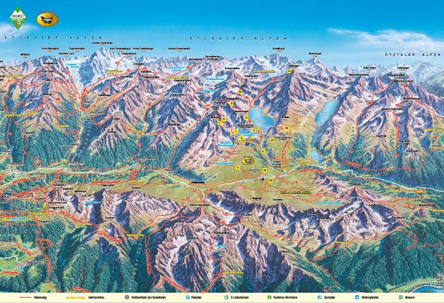
In the summer, Kühtai offers a diverse network of trails at altitudes above 2,000 meters. The hiking map shows routes to lakes, huts, viewpoints, and peaks, including starting points, walking times, and elevation information. This way, leisure hikers, families, and ambitious athletes can quickly find the right tour for their day in the mountains.
Walking times are for one way only
- 1 Plenderlessee (2,350 m / 5 min)
- 2 DreiSeen Hut (2,310 m / 8 min, 15 min via the Seensteig trail)
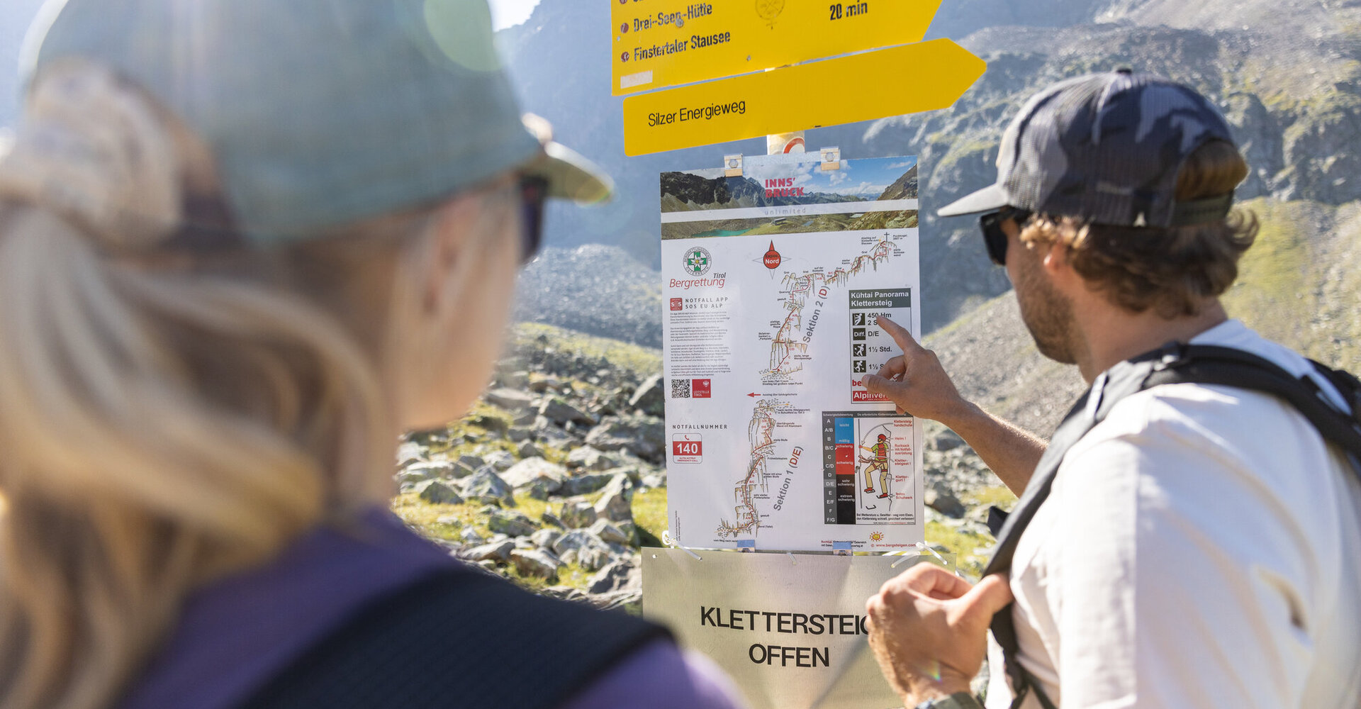
- 3 Start of the via ferrata (2,590 m / 20 min)
- 4 Finstertaler Reservoir – High-Altitude Panoramic Trail (2,340 m / 20 min)
- 5 Finstertaler Reservoir – DreiSeenBahn Valley Station (1,960 m / 1 ½ h)
- 6 Hirschebensee – Kühtai (2,160 m – 2,020 m / 1 h)
- 7 Gaiskogel (2,820 m / 1 ½ h)
- 8 Neunerkogel (2,642 m / 1 ½ h)
- 9 Pockkogel (2,807 m / 2 h)
- 10 Finstertaler Scharte – Schartenkopf (2,855 m / 2 h)
- 11 Sulzkogel (3,016 m / 3 ½ h)
- 12 Silzer Energy Trail (1 ½ h)
- 13 Kühtaier Village Loop (1 ½ h)
Right off the DreiSeenBahn
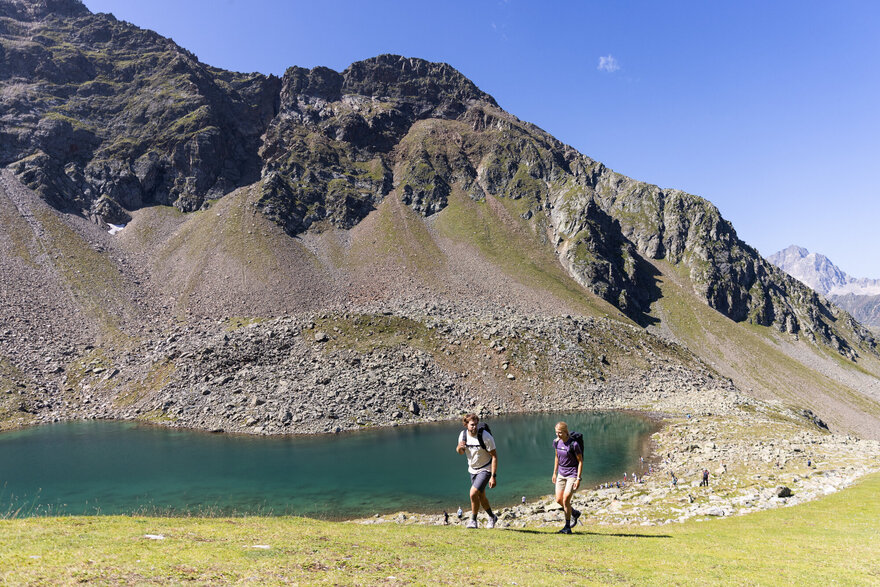
The mountain station at 2,410 meters is the ideal starting point for a variety of hikes. Just a few minutes’ walk away are Plenderlessee and the DreiSeen Hut. Those looking to go higher will find attractive summit destinations in the Gaiskogel, Pockkogel, and Sulzkogel.
- Plenderlessee – approx. 5 minutes
- DreiSeen Hut – approx. 8 minutes
- Finstertaler Reservoir via the Höhen-Panoramaweg trail – about 20 minutes
- Gaiskogel, 2,820 m – about 1.5 hours
- Pockkogel, 2,807 m – approx. 2 hours
- Sulzkogel, 3,016 m – about 3.5 hours
Well-Prepared on the Go
Please choose a route that suits your fitness level, experience, and the weather. Conditions can change rapidly in high-alpine terrain.
Check for current information on trail closures and construction zones before setting out.